
News & Blog
Thank you! Your submission has been received!
Oops! Something went wrong while submitting the form.

Help
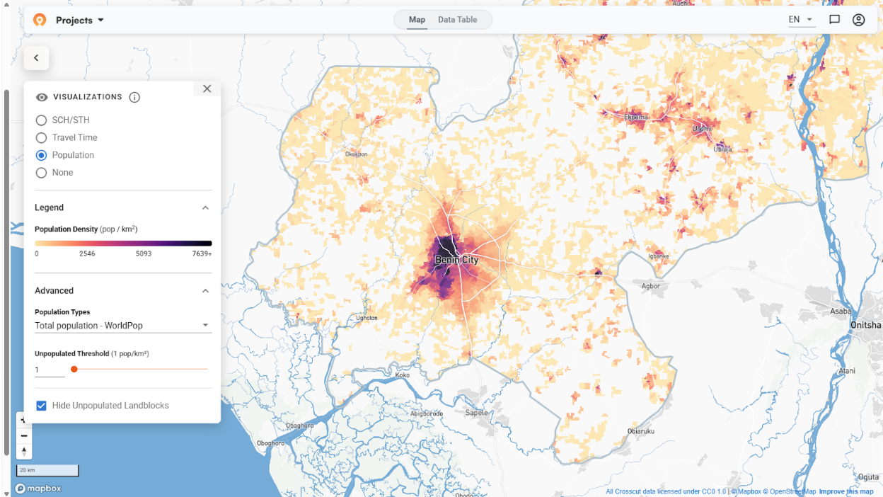
How to create catchment area maps from GPS locations
This guide walks through how to turn that data into practical catchment area maps using the Crosscut App.

News
The case for granular risk mapping in outbreak response
Global health security is about preventing infectious disease outbreaks from crossing international borders. Getting there is about creating a risk layer map for proactive surveillance.

News
March 2026 update: Building out ESPEN's Schisto Mapper tool
We built and maintain the Schisto Mapper tool. This is a separate application built on our same underlying technology to help WHO AFRO’s ESPEN program.
News
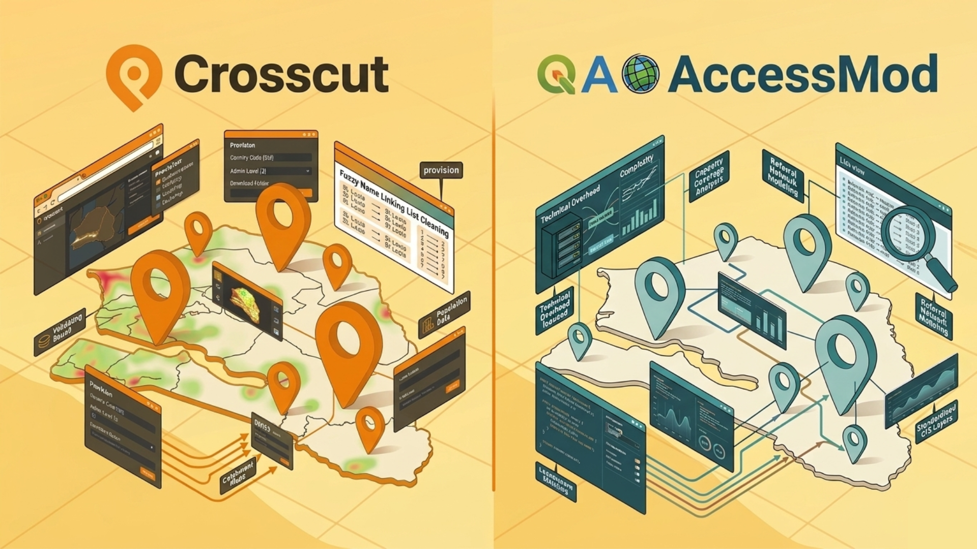
AccessMod vs. The Crosscut App: Comparing catchment area mapping tools for global health
A practical comparison of AccessMod and the Crosscut app for global health catchment mapping — what each tool does well, where each falls short, and how to choose.
App Development
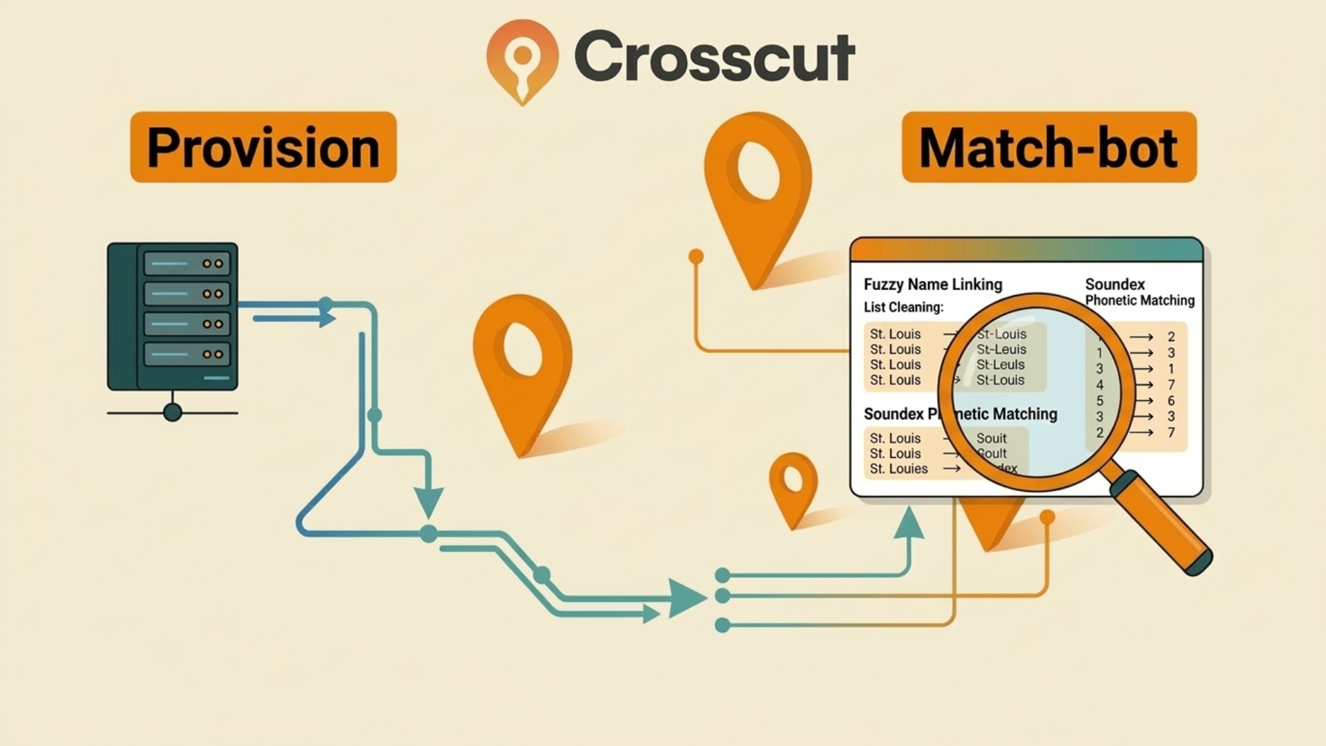
Field-kit: Open source tools for faster geospatial data prep
This article covers features of our field kit, a open-source set of tools for faster upfront data preparation during global health campaigns.

.png)
News
Smappen vs. The Crosscut App: Which Catchment Mapping Tool Is Right for You
Smappen and the Crosscut App both run in a browser and have free tiers. This comparison covers where each tool works, and what is genuinely free versus what requires a paid plan.
%20(650%20x%20366%20px)%20(1).png)
App Development
All Sub-Saharan African Countries Now Available in the Crosscut App
We are excited to share that All Sub-Saharan African countries are now available with their latest data in the Crosscut App.

Case Studies
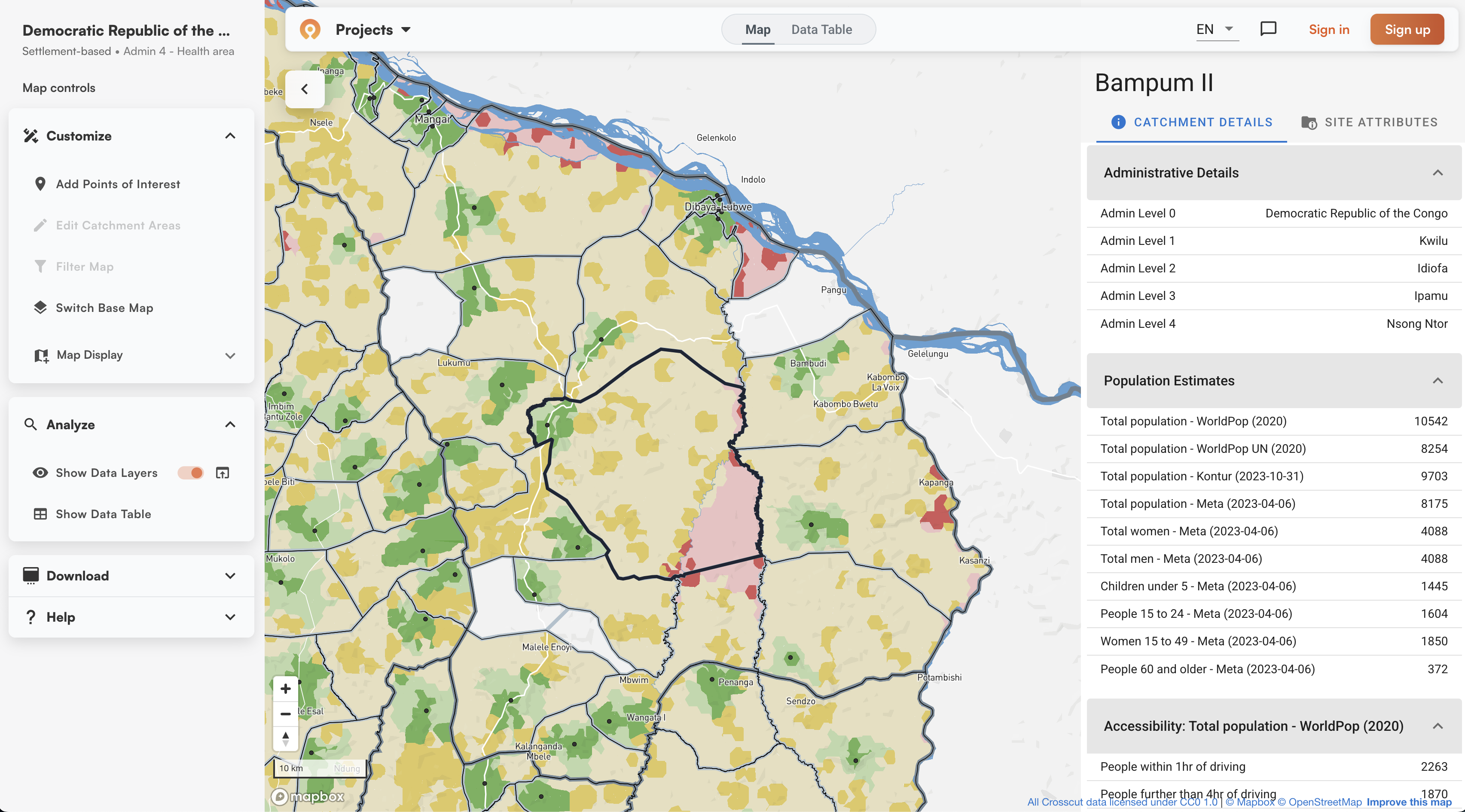
Building health catchments from geocoded data in Liberia
Catchment area mapping for their upcoming mass drug administration campaign, which we used to pilot the ESPEN Geospatial Microplanner across Maryland, Grand Cape Mount, and Montserrado counties.
Help
What is a catchment area map? A GIS guide for non-technical teams
A non-technical crash course in catchment mapping and GIS tools that simplify the process.
